


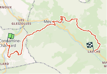
La Routo Condamine Larche

taguette
User

Length
20 km

Max alt
2101 m

Uphill gradient
1438 m
Km-Effort
38 km

Min alt
1275 m

Downhill gradient
1044 m
Boucle
No
Creation date :
2025-06-27 05:57:35.425
Updated on :
2025-06-27 13:45:02.395
7h46
Difficulty : Very difficult

FREE GPS app for hiking
 SityTrail
IGN / Geographical institutes
SityTrail Plus
The world is yours!
About
Trail Walking of 20 km to be discovered at Provence-Alpes-Côte d'Azur, Alpes-de-Haute-Provence, La Condamine-Châtelard. This trail is proposed by taguette.
Positioning
Country:
France
Region :
Provence-Alpes-Côte d'Azur
Department/Province :
Alpes-de-Haute-Provence
Municipality :
La Condamine-Châtelard
Location:
Unknown
Start:(Dec)
Start:(UTM)
320654 ; 4925262 (32T) N.
Comments